
 Yahoo Movies
 Wind chill could get into the -40s in places Friday and Saturday
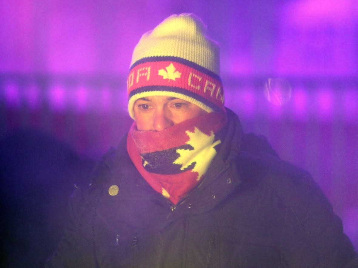
A winter that's been mild so far will take a dangerous swing in the other direction Friday and Saturday, with temperatures around –30 C and wind chill into the –40s in more northern parts of the Ottawa-Gatineau region.
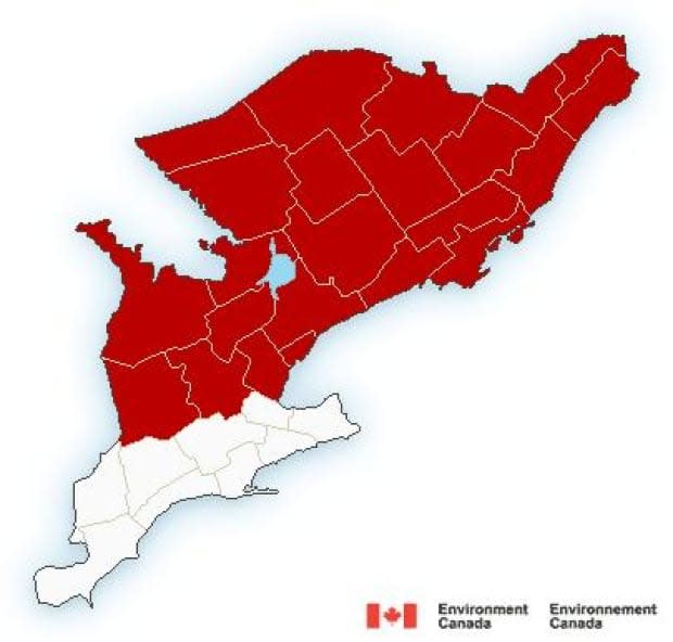
Environment Canada has issued extreme cold warnings for all of western Quebec and eastern Ontario. The warning says a cold front coming in late Thursday will brings very cold wind chill on Friday and into Saturday morning.
Maniwaki is forecast to go from a Thursday high of –5 C to an overnight low of –30 C and hover there until Saturday morning.
On top of that, wind chill is expected to make it feel more like –45.
The Pembroke, Ont., area has a similar forecast.
Ottawa, Gatineau and Cornwall, Ont., are expected to feel just a little less cold, with temperatures at or below –30 C and wind chill making it feel closer to –40.
Wind chill is expected to make it feel more like the mid –30s around Kingston and Belleville, with temperatures in the mid-to-low –20s.
It may get slightly warmer in the day before dropping again Friday night.
Frostbite can develop in minutes on exposed skin when it's that cold.
Health units are sharing warning signs of frostbite and how to dress for the weather, while communities such as Gatineau, Kingston, Ont., and Ottawa are offering lists of places to warm up and resources for people without homes.
On top of the cold, there are snow squall watches for the region outside of the Kingston and Belleville areas, warning of sudden whiteouts Thursday afternoon and early evening as the cold snap arrives.
Back above zero soon
For the weekend in Ottawa, Saturday's temperature should peak at about –14 C in the day and stay there at night. A wind chill estimate isn't available yet.
After that, it'll return to the mild temperatures that have been a hallmark of this autumn and winter, with daytime highs forecast at or above 0 C Sunday, Monday and Tuesday.
The lack of cold and abundance of snow has led Rideau Canal Skateway management to doubt it can open this weekend for the start of Winterlude.
If it doesn't open Thursday, and that seems quite unlikely, it will be the skateway's latest opening ever.

