
 Yahoo Movies
 Weatherwatch: how Rwanda’s climate differs from rest of east Africa
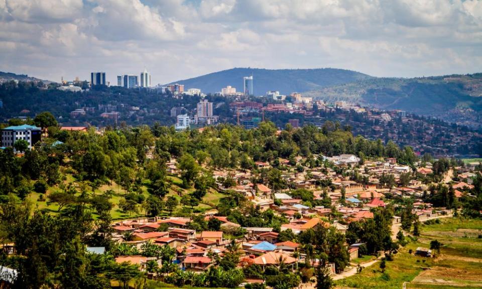
Rwanda is a landlocked country in east-central Africa, just south of the equator, on the watershed between the Nile and Congo River basins. It is bordered by Burundi to the south, Tanzania to the east, Uganda to the north and the Democratic Republic of the Congo to the west.
Like other parts of equatorial Africa, its climate alters very little month-to-month and season-to-season, with average minimum temperatures in the capital, Kigali, varying by little more than a degree (between 15C and 16.2C), while average daily maxima differ only a little more, from 25.9C to 28.2C.
Rainfall does vary – the winter months (June to August) having just 2-3mm (roughly one-tenth of an inch) of rain, while the period from spring to late autumn (October to April or May) is quite wet. In Kigali, it rains on average between 14 and 18 days a month.
But where Rwanda’s climate does differ from other countries in east Africa is due to its height above sea level. The whole country lies at a higher altitude than virtually anywhere in England: the lowest point, the Rusizi River, is at 950 metres (3,120ft); while the highest, Mount Karisimbi, reaches over 4,500 metres (almost 14,800 ft). This keeps temperatures roughly three to five degrees lower than lowland parts of neighbouring Tanzania.
