
 Yahoo Movies
 Our tornado warning system has come a long way, but it could be better
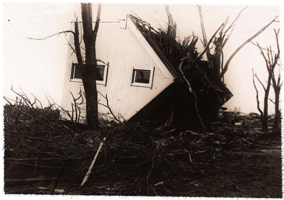
The monstrous tornadoes that killed nearly 750 people and injured more than 2,000 across three Midwestern states on a single day in 1925 came literally with no warning.
The so-called "Tri-State Tornado" outbreak of March 18, 1925, remains the nation's all-time deadliest day of tornadoes.
Now, thanks to modern meteorology and forecasting as well as the widespread use of smartphones and the dissemination of warnings, such a surprise catastrophic event is almost unthinkable.
Indeed, the nation's tornado warning system is close to functioning as it's supposed to, officials from the National Weather Service told the USA TODAY Network.
But the system remains imperfect.
National Weather Service wants 13 minutes of tornado warning lead time
The National Weather Service, the U.S. government agency that provides weather forecasts and severe weather warnings, says the average lead time for tornado warnings is about nine minutes.
The average warning lead time for a given tornado is calculated based on when the warning was issued, when the tornado first touched down and how long it lasted, said Steven Pfaff, the warning coordination meteorologist for the weather service office in Wilmington, North Carolina.
For example, if a tornado warning came seven minutes before a tornado touched down and the tornado lasted for three minutes, the average warning lead time for that tornado would be eight minutes, Pfaff said.
The weather service’s goal is to provide a minimum of 13 minutes of average warning lead time.
In 2011, it reached 15 minutes. Since then, the average warning lead times have fluctuated between eight and 11 minutes.
Why does data indicate that the lead time has dropped since 2011? Forecasters about 10 years ago began waiting longer before issuing warnings when they saw something on their forecasting equipment that could indicate a tornado was likely, senior scientist Harold Brooks of the National Oceanic and Atmospheric Administration's Severe Storms Laboratory said at a conference in 2016.
Brooks said the weather service became concerned that it was issuing too many tornado warnings that turned out to be false alarms, so forecasters more frequently waited until a tornado formed before issuing a warning.
Why a ‘slight’ risk of tornadoes is more threatening than it might seem
In addition to warning the public of imminent tornado threats, the weather service's Storm Prediction Center also issues outlooks days in advance to advise the public if potentially tornadic weather is coming.
But does a forecast for a "slight" risk of tornadoes worry you? Maybe it should. It's No. 2 on a scale that starts with No. 1 "marginal" and progresses to No. 3 "enhanced," No. 4 "moderate" and No. 5 "high."
Tornadoes can and do form even in areas where only a "slight" risk is indicated.
"Most people likely have a mental model of what 'slight' means, and it may not rise to the level of needing to be concerned," said University of Georgia meteorologist Marshall Shepherd.
This is where intermediate translation is important, he said. Even though the outlook level is called "slight," severe weather that can occur in such a risk area is no less deadly than the weather that occurs in a "high" risk area. Isolated severe storms can still produce significant tornadoes, large hail and damaging winds.
When it comes to tornado alerts, federal weather agencies are responsible for letting the public know that tornadoes or other severe weather is possible in the days and hours to come. The weather service's Storm Prediction Center in Norman, Oklahoma, issues risk categories up to several days in advance.
The forecasts show "marginal" to "high" risk areas that have a threat of severe thunderstorms based on the probability that a severe event such as tornadoes will occur within 25 miles of a given location.
Then, on the day of the potential severe weather event, the Storm Prediction Center will issue a tornado watch if conditions are prime for tornadoes to form.
Then, local National Weather Service offices issue specific tornado warnings if a twister is spotted by an eyewitness or one is indicated on radar.

Physical scientists face task of acting as social scientists with warning system
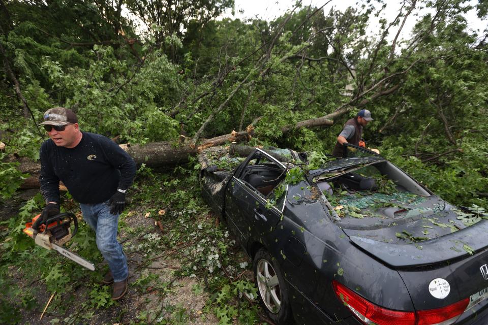
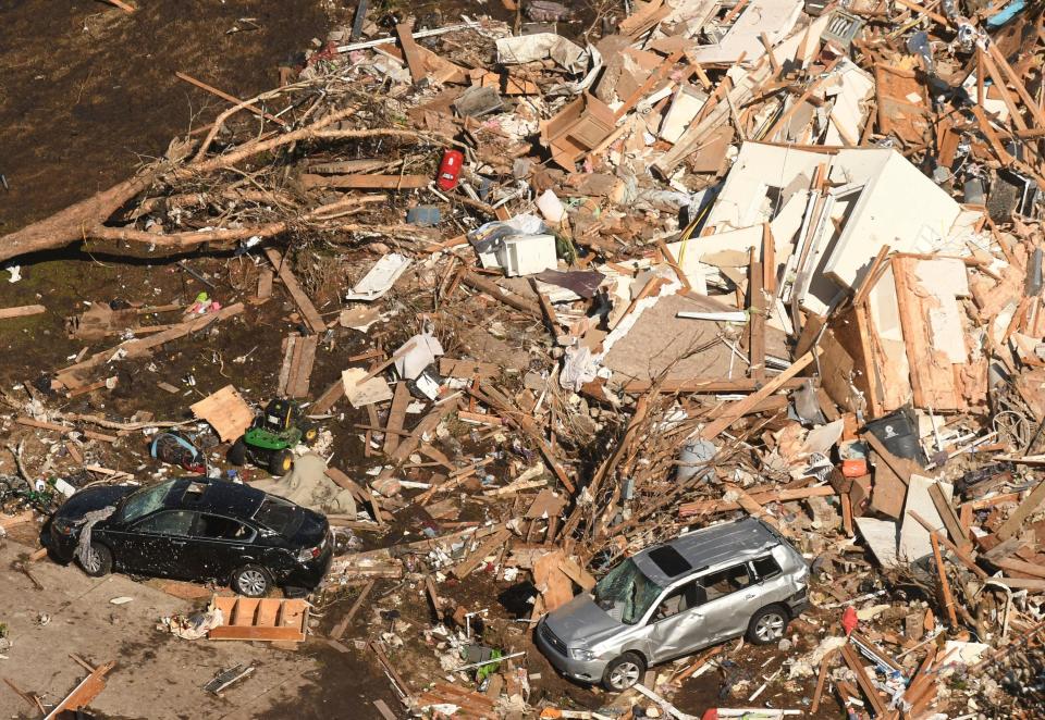
The Cookeville, Tennessee, tornado of March 2020 and its destruction of a recently built neighborhood provide an example of a major concern of forecasters — urban and suburban growth in the Southeast is putting more people, homes and buildings in the paths of future tornadoes.
Further, the residents may not be as attuned to tornado hazards as those who grew up in places where the public dealt with them more frequently.
“Those classic scenes of ‘Wizard of Oz’ — of the tornado dancing in the landscape — have now been replaced with the tornado going through these brand-new subdivisions that are less than 10 years old. And that’s that urban sprawl,” said meteorologist and tornado researcher Stephen Strader of Villanova University in Pennsylvania.
Strader recently published a research paper on the challenges meteorologists face in conveying the seriousness of threats. The public doesn’t always grasp what the meteorologists, who are primarily physical scientists, are trying to tell them.
“What we’ve learned is that the job of a National Weather Service employee is evolving rapidly,” Strader said. “What we’re asking them to do is become better communicators, and that’s not an easy thing to do. That’s a social scientist that deals with that.”
Teams of meteorologists are working with social scientists to get into the heads of members of the public to help understand how someone will respond to a warning.
“The social scientist can help ask the questions about, ‘What does this person do when they keep receiving false alarm warnings?’ ‘How does that affect their decision-making?’ ... ‘What do they prioritize in their life when there’s a tornado watch?’
“These questions about how people perceive, act and decide what to do in tornado situations — what we’re finding is way more important than just giving the warning itself.”
In his research paper, Strader said a “one-size-fits-all” approach with tornado warnings doesn’t work for all the people the weather service is trying to protect.
He recommended that local offices learn more about the population groups they serve in order to better communicate with them, such as older adults, the very young, Native Americans and nonnative English speakers. Strader also suggested that the offices develop outreach programs to better educate the various populations they serve.
70% of tornado warnings are false alarms, but they're issued in caution
The false-alarm rate for tornado warnings now hovers at around 70%, said Greg Schoor, program manager for severe weather services at the National Weather Service. That might sound high, but it's right about what the weather service expects.
"We don't want to wait for a tornado to touch the ground before issuing a tornado warning. We want to err on the side of caution," Schoor said. "All these minutes add up. We want to give you as much lead time as possible. It could have saved your life."
Matthew Elliott, the warning coordination meteorologist at the Storm Prediction Center, said, "We are confident that the public response to severe weather forecasts, watches and warnings has improved greatly over the past decade. The public and emergency decision-makers are responding appropriately, days and hours in advance of forecast severe-weather events.
"Effective warnings of forecast severe weather build throughout the days, hours and minutes prior to an event," Elliott said, "and important complementary messages are shared by our colleagues in local NWS forecast offices and by our partners within the private sector, including national and local media,"
He said it helps that warning messages include actionable information on how people should plan, prepare and respond.
In addition, Elliott said, it helps that the Storm Prediction Center's severe weather outlook threat levels are described by not only categorical terms but also by a specific color and number:
Marginal (dark green): Isolated severe storms possible.
Slight (yellow): Scattered severe storms possible.
Enhanced (orange): Numerous severe storms possible.
Moderate (red): Widespread severe storms likely.
High (magenta): Widespread severe storms expected.
Future changes to severe weather risk categories are afoot
There are no immediate plans to change either the risk categories or the watch and warning system, according to federal officials.
"However, we have been actively working with social scientists (about) potential future changes (to the risk categories)," said Elliott.
"While there is agreement that the current categorical labels are not ideal, there is less agreement on what they should be changed to," he said. "When we make changes, we need to get it right the first time since the entire change process will be quite complex. In other words, we need to measure twice and cut once."
As for the watch and warning system, Schoor said the two terms "are ingrained in society and have been for decades. Most people understand a watch means some sort of preparedness while a warning means something is happening."
He cited a recent survey administered by the weather service that found 65% of respondents could correctly identify what a tornado watch was while 75% knew what a tornado warning was.
A recent addition to the tornado warning system is the designation of a "tornado emergency," which is used when a tornado is on the ground and headed for a populated area, Schoor said.
This article originally appeared on USA TODAY: Tornado warning system has come a long way, but it could be better
