
 Yahoo Movies
 Missing for weeks, cold and snow finally pour back into Alberta
An unusually dry January across southern Alberta will come to an end Friday as a round of snow finally blankets the region.

Calgary has seen nearly 70 cm of snow this season, which is close to the seasonal average of 72 cm through this point in the winter. However, almost all of that snow fell in October, November, and December—the city has only seen 1.4 cm so far this January.
Warmer temperatures and a relative lack of storm systems tracking across the province are to blame for this lull in snowy conditions.
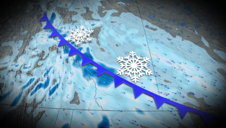
But that quiet streak ends on Friday as cold air and a dynamic jet stream kickstart a series of clippers bringing snows to the province. We’re on track to see some of our most significant snowfall totals since the middle of December.
MUST SEE: Get to know Canada's most famous groundhogs

A system diving south across the province through Friday will produce a widespread swath of 2-5 cm, with higher amounts expected along the QE2 and west toward the Rockies. Forecasters expect 5-15+ cm along the foothills, with locally heavier totals possible in the extreme southern foothills.
Temperatures will hover close to the freezing mark on Friday before the atmospheric floodgates swing open and allow frigid air to pour south from the Arctic.
Temperatures through this weekend will dive well into the minus double digits and teens, with subfreezing temperatures in the forecast through next week.
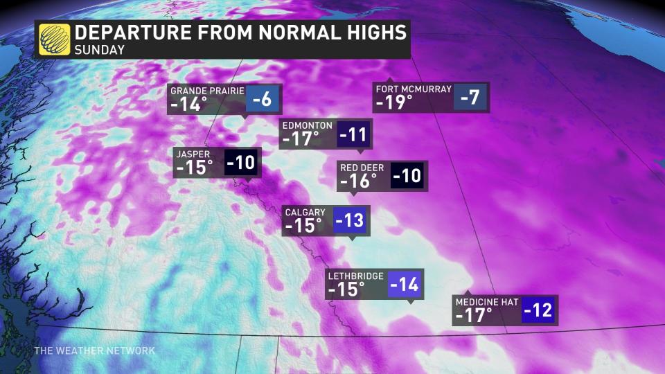
While the chill will descend on Alberta, the eastern Prairies will bear the brunt of the extreme cold with daytime highs only reaching -20°C for some communities.
Be sure to check back for the latest weather updates across Alberta.
