
 Yahoo Movies
 UK weather: Snow settles across country as Met Office issues widespread warnings
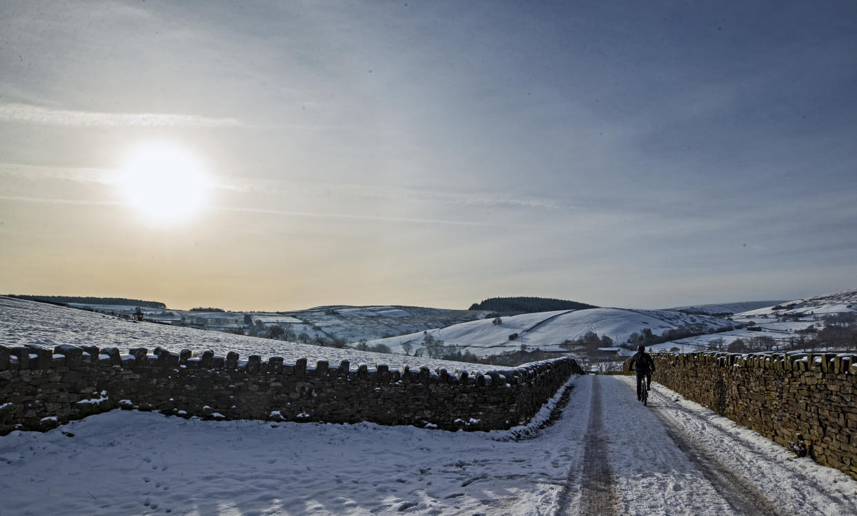
A cyclist on the snow at Blackmoss Reservoir in Barley, Pendle, Lancashire.
(PA)Much of the UK woke up to snow on Saturday, with up to 8cm forecast to fall on parts of the country.
Met Office issued weather warnings for the majority of Britain, with amber alerts in place for Cambridge, Essex, Hertfordshire, Norfolk and Suffolk as a band of heavy snow is expected to bring disruption.
Forecasters warned of travel disruption, power cuts, and the isolation of rural communities.

The Met Office has also issued a yellow warning for snow and ice until 8pm on Saturday for Scotland, the East Midlands, North East and North West England, and Yorkshire and the Humber.
This warning comes as snow settles across the majority of the regions, causing traffic disruption and the possibility of power cuts. Snow has also forced the closure of a Covid-19 testing centre in Kirklees Council, Huddersfield.
Between 4-8cm of snow could fall in the worst-affected regions, with the Met Office warning drivers to accelerate their cars "gently" and to leave a large gap between surrounding vehicles.
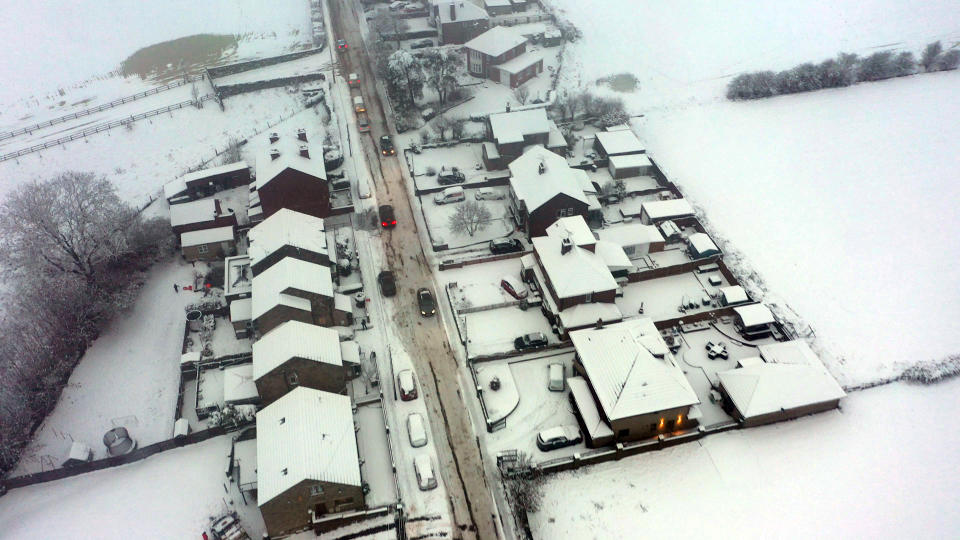
People in East Anglia woke up this morning to a thick layer of snow which had settled overnight, with the wintry downpours expected to continue until the afternoon.
As snow is settling in many regions in the South East including Surrey, the Met Office has placed an additional weather warning for snow covering parts of the East Midlands, the East of England, and London and the South East.
Currently, the only areas without a warning for snow or ice are the South West of England, Wales, and Northern Ireland.
Parts of Wales and Northern Ireland will be mostly cloudy, with some bands of rain in the northern regions.
The snowfall is expected to clear in the evening of Saturday through until Sunday, with north-western regions are expected to see showers, with a "spell of more persistent rain" later on in the day.
Greg Dewhurst, a Met Office forecaster said: "Areas in eastern England and around the M25 could see up to 8cm of snow, especially as Saturday progresses.
"Other areas in England and Scotland will see some snowfall here and there, with Saturday being the colder of the two days over the weekend.
"Temperatures are unlikely to rise above 10C, with a lot of areas closer to freezing."
Met Office Chief Meteorologist Steven Ramsdale spoke on the wintery flurries: "Whilst the high ground in the north is likely to see the largest accumulations some snow is likely to fall low levels at times. In fact, parts of east England and East Anglia look most at risk of seeing 1-3 cm with 5-10 cm possible in places.
“The milder air will eventually win out with the initial snow gradually turning to rain. This may also bring some flooding issues following recent wet weather and with snow then melting – though the snow looks to be the greater hazard.”
There are also 25 flood warnings across England on Saturday, stretching from the South East to the North East, meaning "immediate action is required", according to the Environment Agency.

