
 Yahoo Movies
 Severe heatwave and high bushfire danger forecast ahead of Australia Day
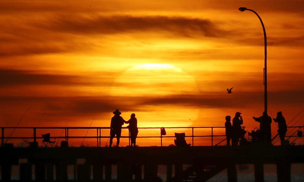
A burst of heat is set to sear much of Australia ahead of the Australia Day long weekend, sending temperatures soaring and sparking bushfire concerns.
The Bureau of Meteorology is forecasting a severe heatwave to settle across much of the south-east of the country, with temperatures set to be up to 15C above average.
“A big burst of summer heat is on the way,” bureau meteorologist Dean Narramore said on Wednesday. “We’re expecting severe to extreme heatwave conditions through large parts of the country, extending from southern Western Australia all the way to the New South Wales coast, particularly near and south of Sydney.”
Related: Last decade hottest on record for Australia with temperature almost 1C above average
Narramore said the hot conditions would begin in WA on Wednesday and Thursday before extending across to Victoria and NSW from Friday to Sunday.
“Sunday is looking like the hottest day in south-eastern Australia,” he said. “We could see widespread 40s and even mid-40s expected through northern parts of Victoria, western and southern parts of NSW and much of inland South Australia.”
Sydney is forecast to face temperatures between 30C and 33C across the weekend, with the hottest day expected to be Monday, at 34C, while Melbourne’s hottest day is forecast to be 38C on Sunday.
Narramore said the bureau was expecting conditions to ease by Australia Day with many capital cities likely to see a sudden drop in temperatures by then. SA and southern Victoria can expect the cool change on Monday before it moves into NSW on Tuesday.
“Some places will be in the 40s on Sunday but probably only into the 20s or possibly even the teens on Tuesday. So … it’ll be very hot and then quite cool after that.”
The heat comes after a wet and cool start to summer largely driven by the La Niña event that has shaped Australia’s weather since September. But shifting weather patterns across the country’s north has brought a reprieve from the somewhat dreary 2020-21 summer.
“We’re starting to see more of a summer pattern,” Narramore said on Wednesday. “When it’s really wet and active across the north, as we’re seeing now, then we’ll likely see high pressure and heat and dry conditions across the south.”
A front moving across the southern parts of the country, in addition to an easterly that has blown for weeks across eastern and southern Australia, is going to drag the heat that has settled on much of Western Australia across to the east coast.
With that heat comes the potential for bushfires, with the bureau expecting fire dangers to spike across the weekend.
“We’re going to see very high to severe fire dangers across many parts of WA and also southern SA,” Narramore said.
Related: Australia records fourth-warmest year in 2020, despite La Niña
“On Friday and Saturday, we’re likely to see very high fire dangers spread across many inland paths of south-eastern Victoria, SA and also NSW. On Sunday and Monday, we could also see severe fire dangers for parts of south-eastern Australia.”
Narramore also warned beachgoers to keep an eye on weather updates and surf warnings.
“Be careful as you’re heading out to the beach as, even in fine and sunny conditions, you’d still get riptides,” he said. “It’s not looking too bad for beach weather, it’s actually looking pretty nice, and I’m sure many will head down there, but, as always, just be weather aware.”
Meanwhile, residents along the Pilbara coast in Western Australia are preparing for the first cyclone of the season, after authorities warned a tropical low could develop into a cyclone by Thursday.
Authorities have advised residents to prepare for heavy rain and destructive winds, with the Bureau of Meteorology warning of a severe impact along the coast between Bidyadanga and Dampier.
The Department of Fire and Emergency Services assistant commissioner, Paul Ryan, said residents needed to begin preparing now, have a survival kit, and check their properties for loose items.
“It will take a couple of days, but we need to start planning and moving now,” he told reporters. “We’re asking people not to go out on a red alert, and saying to people, do not ever walk or drive through floodwater.”

