
 Yahoo Movies
 Are you at risk for mudslides during California rain? Here’s how to stay safe
Rainy season produces a higher risk of dangerous debris flows — often referred to as mudflows or mudslides — for those living on or below hillsides, especially in areas burned by recent wildfires.
The bomb cyclone that hit Northern California Sunday produced a record amount of rain in the Sacramento Valley and the Sierra Nevada foothills.
Now, residents, authorities and emergency officials are left with potential damage caused by post-wildfire debris flows across the region.
What is a debris flow?
A debris flow is a mixture of water and sediment. And rain as little as three-tenths of an inch falling for a minimum of 15 minutes can funnel a reaction.
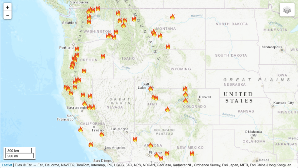
CALDOR FIRE DEBRIS FLOW RISK
Map: NATHANIEL LEVINE | Source: U.S. Geological Survey
According to Jason Kean, a research hydrologist for the United States Geological Survey, after a wildfire, steep slopes no longer have the protective layer of vegetation, and the soil also becomes water repellent.
As a result, that area receives a lot of runoff.
“Sometimes that’s all you got. You got a lot of runoff and a little bit of sediment transport with it and then you get a flood,” Kean said.
”Other times, it picks up a bunch of sediment and it bulks up and it bulks up so that it’s half sediment and half water and that’s what we call a debris flow.”
The flows can include “water, rock, soil, vegetation, and even boulders and trees,” according to the California Department of Conservation.
In layman’s terms: “Debris flows are fast-moving landslides that are particularly dangerous to life and property because they move quickly, destroy objects in their paths, and often strike without warning,” according to the USGS website.

Before fire and rain, the soil is trapped on steep rocky hills by vegetation. But during summer’s fire season, that vegetation is burned, causing sediment to roll down steep hills.
Within a few hours or a day, channel bottoms are loaded with loose sediment that moves through the steep channels during intense rainfall.
“It’s one of the most dangerous things that can happen after a wildfire,” Kean said.
Wildfires promote flooding and if enough sediment is picked up, debris flow begins. And even though flooding and debris flows can happen at the same time — debris flows are deeper and may be faster than an average person can run — making it more dangerous than a flood.
“A debris flow can be carrying a boulder the size of a car and go right through your house,” Kean said.
Kean said there’s often not much warning before a debris flow begins as it can start instantaneously when intense rain hits a steep slope that has been burned by a wildfire at moderate to high burn severity.
“It’s often too late to get out the way. It’s really best to be out of the way before intense rain hits the burn area,” Kean said. “So that’s why the National Weather Service tries so hard to get out those watches and warnings in advance so people get a heads up.”
Sacramento’s National Weather Service extended a flood advisory to southern San Joaquin County, Stanislaus County, southeastern Calaveras County and southwestern Tuolumne County until 5 a.m. on Tuesday.
But Kean warned as the skies are beginning to clear that residents should remain cautious as we move into winter.
Flood risk remains significantly higher until vegetation is restored — up to five years after a wildfire, according to the National Weather Service Post Wildfire Flash Flood and Debris Flow Guide.
“We’re going to have to be on our toes here for the rest of the winter for the next storms that come in,” Kean said. “This will be with us for a while until those burn areas recover and that often takes two years or more.”
Here’s what anyone preparing for the next storm should know about reducing the risk of property damage and injury, according to the National Weather Service and Habitat for Humanity.
Plan Ahead
Gather materials in case of a storm and plan evacuation routes.
Be sure to keep important papers in a safe, waterproof place and take pictures of possessions.
Review your insurance coverage and make sure you have a flood policy.
Visit the National Flood Insurance Program to learn about individual flood risk and coverage options.
After a debris flow
Stay away from the slide area because there could me more.
Avoid using the phone except for serious emergencies
Remember that flooding may occur after a debris flow
Inspect your home
Leave your home if you smell gas or chemicals
Check for for damaged walls, electrical system or water lines
Clean up flammable liquids
Report any broken utility lines or damaged roadway to authorities
Replant damaged ground as soon as possible to reduce the risk of flooding
For more tips on debris flow aftermath, visit the Habit for Humanity.
What do you want to know about life in Sacramento? Ask our California Utility Team your top-of-mind questions in the module below or email utilityteam@sacbee.com.
