
 Yahoo Movies
 Researchers tracking wind speeds along Dempster Highway's 'Hurricane Alley'
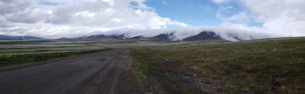
The Dempster Highway can be a beautiful drive in any season but during the winter months one section of the road becomes particularly hazardous to the travelling public.
That's why researchers from Carleton University in Ottawa have decided to work with the Yukon Government on a wind speed project that could possibly prevent an accident before it happens.
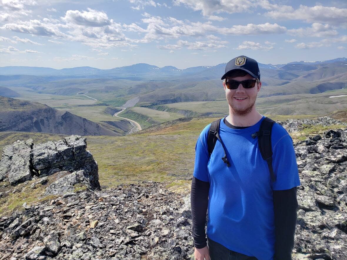
Trevor Andersen is the lead researcher on the project.
"Essentially what happens here at about kilometre 450 to about 465, it runs through what is called 'Hurricane Alley,'" he explained.
"[The highway] runs sort of south to north and then to the east of the road you have a ridge. The ridge elevation is around 950 meters to 1150 metres above sea level and the road is around 650 to 750 metres above sea level. So there isn't much of an elevation difference."
Andersen says because of the way the road is situated with the mountains, cold winds from the Northwest Territories spill over the ridge into the valley below toward the highway at an accelerated speed.
"Often times the wind speed will exceed 100 kilometres an hour sustained," Andersen said. "That causes issues with blowing snow, reduces visibility, and if there are trucks travelling along the highway they can be blown completely off the road." (Watch it happen in this YouTube video posted eight years ago.)
Andersen said that's why the road is generally closed quite a bit during the winter months.
"I believe between January and March earlier this year about 40 per cent of the days the road was closed."
Eight wind stations have been installed along the section of the road to track wind speed, wind direction, and temperature.The stations are connected to a satellite that sends real time data to a website that Andersen has created.
Andersen said the main focus behind this pilot project is to use the data to understand when these high wind storms occur, and to determine whether or not the highway is safe for people to travel.
"It's giving more people more tools to be able travel the highway safely," Andersen said. "And just basically helping the highway crews to have all of the information so they know when they have to close the road and when it's not safe to have people traveling through."
Yukon Government collaboration
Yukon Government's Highways and Public Works department has camps scattered along the highway for crews who are responsible for maintaining the highway and keeping travellers safe.
Cathy Brais is the road foreperson at the Eagle Plains maintenance camp, about 90 kilometres from Hurricane Alley.
Brais said her crew is good at making sure the road is monitored, but the new tools are useful additions to her "toolbox."

"It's kind of tough to have eyes up there," Brais told CBC News. "We have trucks who travel to the Northwest Territories and when they come back they're empty and that's a big concern of mine. When they come back empty, they start down Hurricane Alley and they have no information or eyes on what's happening."
"If I'm looking at the website that Trevor has given us and I see winds at 140 kilometres an hour, I'll probably close the road right away. At 80 it's almost the tipping point for when I like to close the road, only because of the empty trucks."
Both Brais and Andersen said they would like to see this information eventually shared with the public.
Andersen said the Yukon's transportation engineering branch has expressed interest in the project and he hopes that this could eventually lead to posting wind speed information at the Dempster Corner, and in Fort McPherson and Inuvik so that travellers are notified before they journey along the highway.

