Rainy weather to stretch into weekend in Kansas City. When will the storms stop?
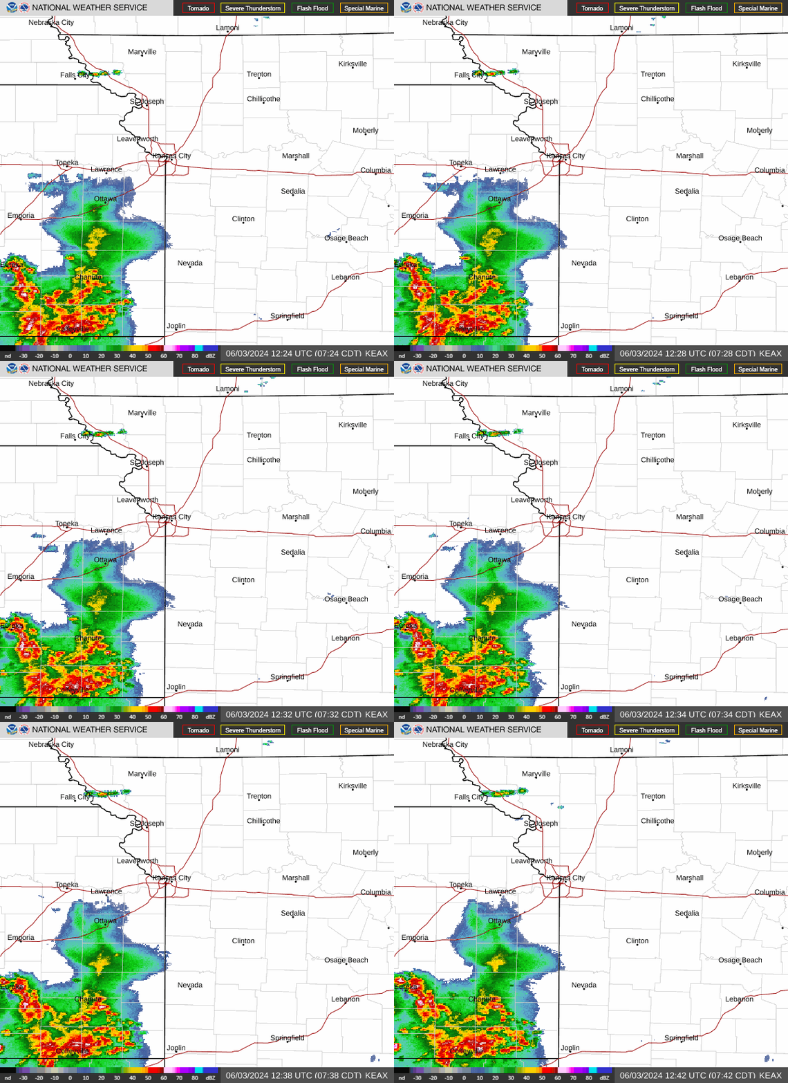
Several rounds of showers and thunderstorms are expected to pass through the Kansas City area, stretching the metro’s chance for rain into next early next week, according to the National Weather Service.
Although Thursday will remain cloudy and mostly dry in the metro, the possibility of rain returns overnight as showers and a few thunderstorms will spread north into the area, the weather service said.
The heaviest rains, however, will remain to the south where rounds of strong to severe storms will move into southern Missouri Thursday afternoon, according to the National Weather Service in Springfield.
Heavy rain from the storms could cause flash flooding across southern and eastern Missouri, the weather service said.
The chance rain in the Kansas City area is expected to continue Friday afternoon and night. There’s a possibility of light snow developing Friday night over northern Missouri.

Cloudy skies will gradually clear, becoming mostly sunny Saturday. However, the chance of rain returns overnight Saturday. Rain chances continue on Sunday and Monday. Mostly sunny skies return on Tuesday, according to the weather service.
Temperatures are expected to be slightly cooler than normal into next week, ranging from the upper 40s to mid-50s. Typically this time of year, temperatures are in the upper 50s in Kansas City.
Weather watches and warnings
A live data feed from the National Weather Service containing official weather warnings, watches, and advisory statements. Tap warning areas for more details. Sources: NOAA, National Weather Service, NOAA GeoPlatform and Esri.

 Yahoo Movies