
 Yahoo Movies
 Polar vortex releases grip: From zero to 60 in days as Northeast warms up; Texas could get more severe weather
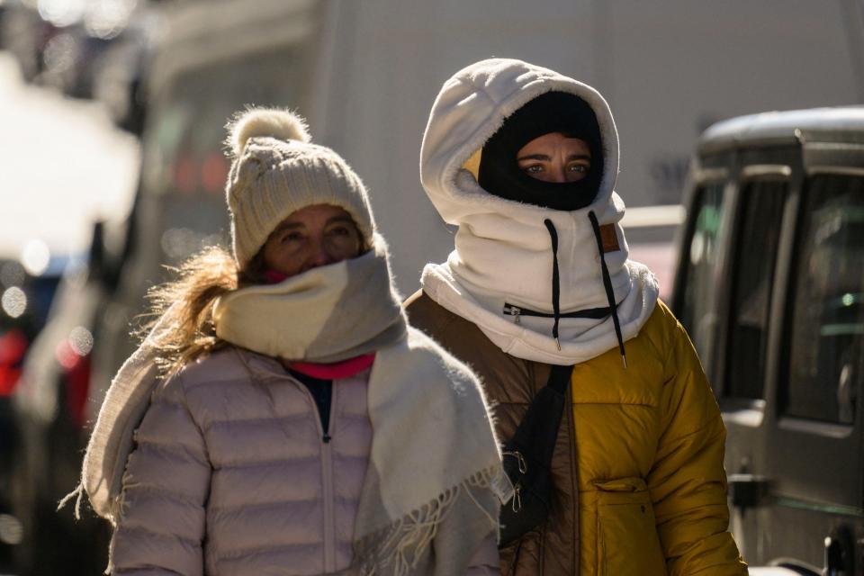
The polar vortex that swept record-breaking cold across much of the nation in recent days was easing its grip Sunday as high temperatures in iced-over states were forecast to climb into the 40s and 50s.
The relatively mild weather and above-average temperatures could dominate forecasts for the next 10 days, AccuWeather said. The warming forecast came one day after Boston; Providence, Rhode Island; Hartford, Connecticut; Worcester, Massachusetts; Albany, New York; and Glens Falls, New York, were among cities that set or matched record low temperatures for Feb. 4, according to the National Weather Service.
The bitter cold temperatures came after a mild January that ranked as one of the top-three warmest on record for over a dozen cities from Maine to Kentucky, AccuWeather said.
"There is every indication that the month of February as a whole will be above average in the East," AccuWeather long-range meteorologist Paul Pastelok said.
AT LEAST ONE DEAD: High winds, bitter cold in Northeast; temperatures to warm Sunday
Warming trends:
Temperatures will trend upward by close to 40 degrees in some locations Sunday. In Boston, where two record lows were set within a few hours Friday night, temperatures will climb into the upper 40s on Sunday afternoon.
Washington, D.C., was awaiting temperatures in the 50s Sunday and 60s later in the week. On Saturday morning the temperature dipped to 17 degrees with a wind chill of 3 degrees. Philadelphia saw a wind chill of zero on Saturday and could see 60 degrees by week's end.
The warming trend was sweeping the Midwest, too. Green Bay, Wisconsin, which dropped to 8 below on Friday with a wind chill of 28 below, could emerge above freezing Sunday, and temperatures could near 40 degrees later in the week.
MOUNT WASHINGTON WIND CHILL: New Hampshire summit fell to minus 108 F, likely lowest recorded
Mount Washington wind chill won't hit 108 below – but don't wear shorts
The wind chill on the summit of New Hampshire's Mount Washington made national news Saturday when it dropped to minus 108 F. Brian Brettschneider, an Alaskan climate scientist, said the mark was probably the lowest wind chill ever recorded in the nation. Sunday at 10 a.m. the temperature in Sargent's Purchase, which includes the summit of Mount Washington, was 11 degrees. Winds were whipping at 56 mph, providing a wind chill temperature of -16 degrees, according to the U.S. Weather Predictions Center calculator.
The Mount Washington Observatory at the peak of the Northeast’s highest mountain also registered an actual temperature of minus 47, tying an observatory record set in 1934, and a wind gust of 127 mph.
New York returns to warm after brutal days
New York City saw a low of 3 degrees Saturday. Temperatures will climb to near 50 degrees Sunday, forecasters said. The normal high for New York City on this date is about 40 degrees.
In January, city temperatures averaged nearly 10 degrees above normal. A temperature difference for an entire month typically ranges from 2 degrees above to 2 degrees below normal, AccuWeather said.
"New York City has never had a January where every single calendar day averaged above normal until this year," AccuWeather Senior Meteorologist Dave Dombek said.
After brief respite, Texas in the path of another storm
Texans have had a few days to warm up following last week's brutal ice storm that froze roads and led to hundreds of wrecks. The break will be short-lived, as a cold front from the Pacific is expected to reach parts of the state in the coming days, though its impact won't be as dramatic as last week's system.
"A storm will be strengthening in Texas late Monday into Tuesday, bringing the next round of wet weather and severe thunderstorms to the region," AccuWeather senior meteorologist Adam Douty said.
Central and southern Texas cities such as Austin, Waco, San Antonio and Houston may be impacted by severe weather, including lightning, thunderstorms and wind gusts of 50-60 mph, Accuweather said. The storm is expected to move northeast Wednesday toward Louisiana, Alabama, Arkansas and Tennessee.
This article originally appeared on USA TODAY: Polar vortex releases grip: Warmup sweeping Northeast, Midwest
