
 Yahoo Movies
 Google Maps to show Melbourne commuters how crowded trains are
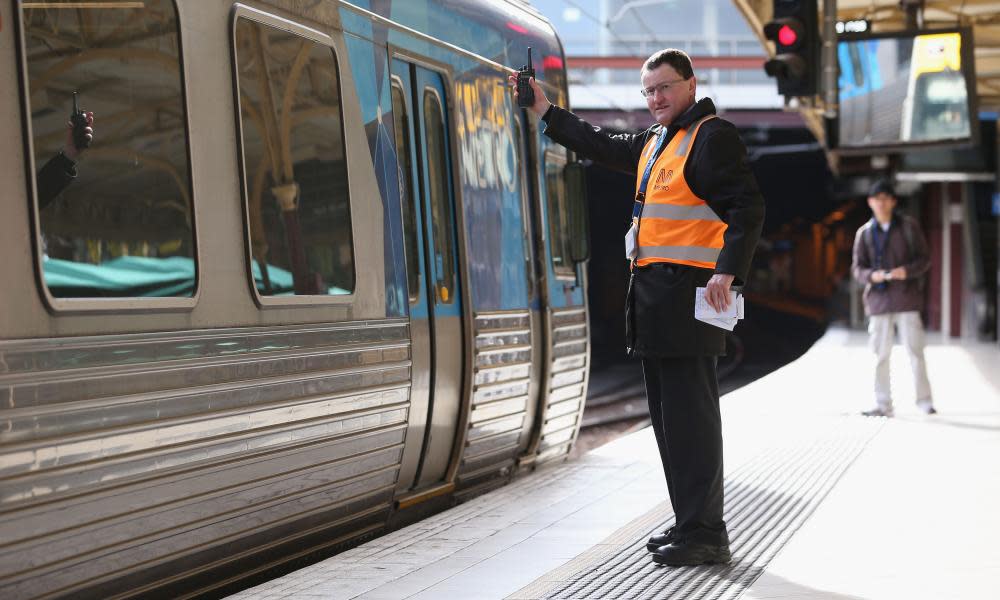
Commuters in Melbourne will be able to see how crowded specific trains are on Google Maps as part of a Victorian government push to preserve social distancing on traditionally crowded services.
The integration of live passenger data in the mapping service – to be launched on Friday – comes as Victorian offices last week increased to 50% capacity. It is the latest move to help stagger when people use Melbourne’s public transport.
New South Wales earlier this week announced a $1bn plan to increase Sydney’s peak-hour train capacity by 80%. State governments across the country are grappling with how to enforce social distancing in cities where people are again adopting pre-pandemic attitudes amid zero community transmission.
Related: Australia Covid vaccine tracker: how is the rollout progressing and when will you get the jab?
Google Maps from Friday will display live passenger data from the Victorian government’s RideSpace initiative, which had been accessible on a standalone website after it was launched at the end of January.
RideSpace uses Myki tap-ons, historical travel patterns and predictions – alongside public health settings – to determine how close to Covid-safe capacity services are. It ranks trains from “very quiet” to “very busy”. The data also shows how busy stations and individual platforms are – and when crowds are likely to ease or grow.
The collaboration marks the first time live ride data in Melbourne has been provided to Google Maps with the government understood to be considering expanding the service to include trams and buses. Commuters in Sydney have previously been able to see some live passenger data for public transport services.
Victoria has introduced an extra 450 weekly services across Melbourne’s train network – and a targeted 30% discount on tram, bus and train fares – to encourage commuting outside of peak times.
Ben Carroll, Victoria’s minister for public transport, said Melburnians had more options for spacing out their commutes but wearing masks on public transport continued to be important in preventing potentially undetected Covid-19 cases from spreading.
“[Google Maps] is an important next step to give everyone more confidence to travel on public transport and comes in addition to the more than 450 extra weekly services on the train network, discounted fares for travelling outside peak hours and deep cleaning across the whole network,” Carrol told Guardian Australia.
Ramesh Nagarajan, Google Australia’s director of product management, said “these new features will provide commuters with richer information to help them map a smooth and safe journey in Melbourne”.

